Difference between revisions of "Data sources"
From The GenGIS wiki
Jump to navigationJump to search| Line 2: | Line 2: | ||
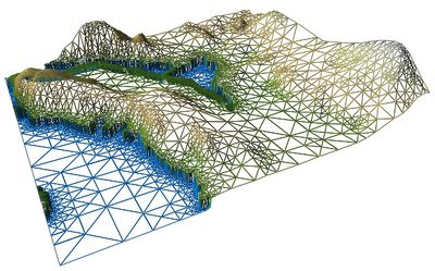
[[Image:WireframeDEM.jpg|thumb|Wireframe rendering of a digital elevation map (DEM) performed in GenGIS.|400px|right]] | [[Image:WireframeDEM.jpg|thumb|Wireframe rendering of a digital elevation map (DEM) performed in GenGIS.|400px|right]] | ||
| + | |||
| + | Oak Ridge National Laboratory (ORNL) Distributed Active Archive Center (DAAC) | ||
[ftp://e0srp01u.ecs.nasa.gov/ NASA Shuttle Radar Topography Mission FTP site] | [ftp://e0srp01u.ecs.nasa.gov/ NASA Shuttle Radar Topography Mission FTP site] | ||
Revision as of 22:59, 21 January 2010
Digital Map Data
Oak Ridge National Laboratory (ORNL) Distributed Active Archive Center (DAAC)
NASA Shuttle Radar Topography Mission FTP site
Libraries and Supporting Applications
GDAL - The Geospatial Data Abstraction Library
