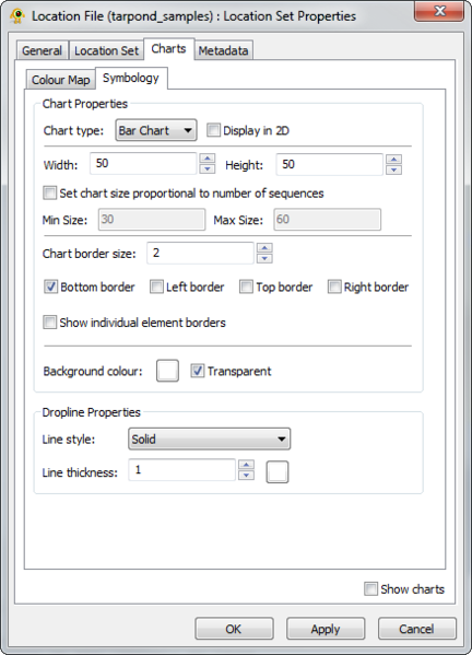
File:V200 LocationSetProperties Charts Symbology BarChart.png
From The GenGIS wiki
Jump to navigationJump to search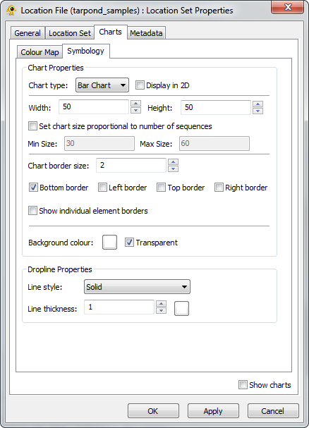
Size of this preview: 432 × 599 pixels. Other resolutions: 173 × 240 pixels | 438 × 607 pixels.
Original file (438 × 607 pixels, file size: 50 KB, MIME type: image/png)
File history
Click on a date/time to view the file as it appeared at that time.
| Date/Time | Thumbnail | Dimensions | User | Comment | |
|---|---|---|---|---|---|
| current | 00:46, 5 March 2012 | | 438 × 607 (50 KB) | Timothy (talk | contribs) |
You cannot overwrite this file.
File usage
The following page uses this file: